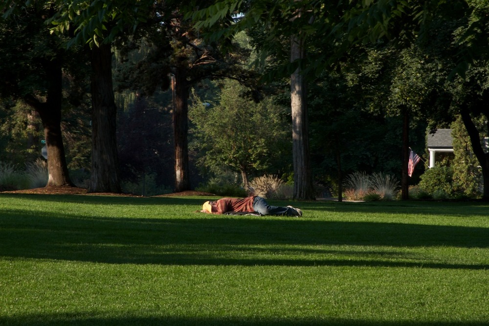
Yet another room with a view. This one’s a little less craggy, a
little more cozy.
Yet another room with a view. This one’s a little less craggy, a
little more cozy.

First shot of many I suppose. Going to follow this route all the way
to it’s end. Will jump off at various points for visits but it Cal 1
start to finish. Incidentally this Hwy begins on the north end in
Legget, CA. Legett’s claim to fame is that it contains within it’s
borders the redwood tree that one can drive thru. I declined.
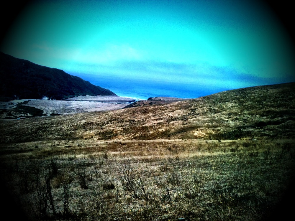
I’ve been traveling the very winding Mattole Rd between Ferndale and
the Ocean for the last hour. It’s only about 25 miles but it’s
surrounded by such compelling scenery that I just can’t resist
stopping. Even had a short conversation with a couple of brave White
Tails.
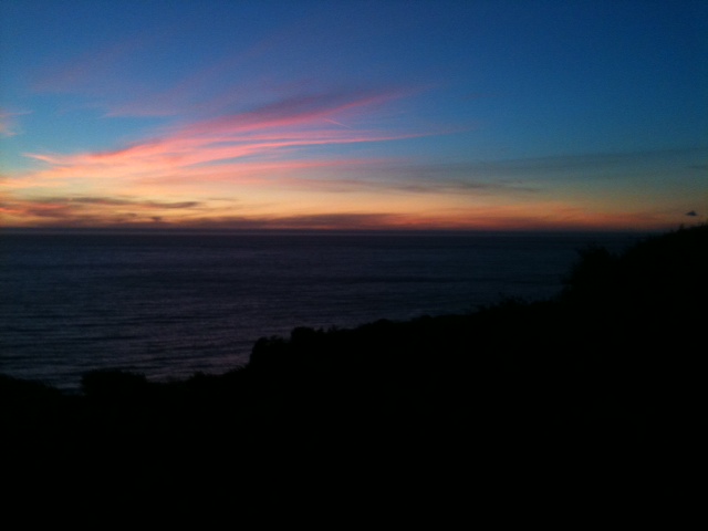
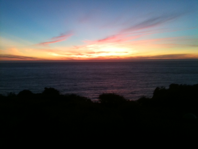
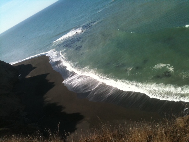
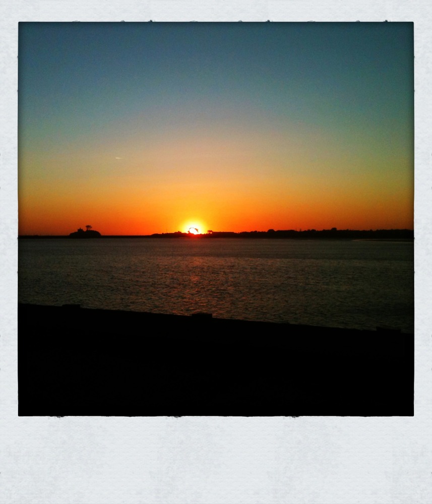
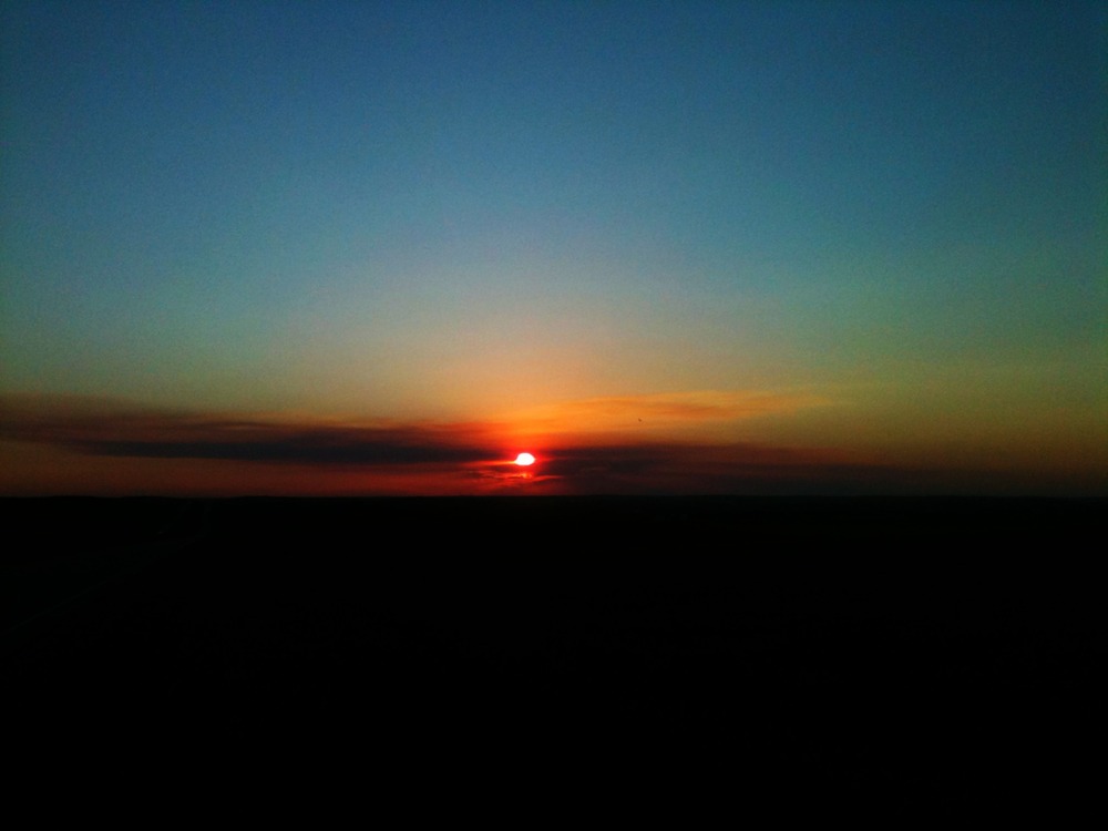
The sunset last night was over a harbor. Tonight you’ll get the real
thing. Chaz recommended camping along The Lost Coast and so far his
advice has been spot on. So I’m headed for Sinkyone SP looking for a
place to plant my now lopsided tent.
In the meantime here’s a picture if what I’m seeing at the moment. And
oh yes, that’s the Pacific.
Arrived here last night after a day long trip from John Day (3 hours by GPS). Bend was not originally on my ‘itinerary’. But when it came time to leave Idaho I glanced at the map and noticed it sitting there in Central Oregon and remembered that I had an old friend who had moved to Bend several years earlier. I got in touch, discovered she was still there, and set off in that direction.
It’s a great town. The people in John Day warned me that Bend had once been a nice place but of late had become Los Angeles – an allusion to the number of Californians who had discovered it and moved there. Of course the people in John Day also warned me that the country was on the verge of collapse and that riots and looting would soon ensue unless Michelle made it to the White House. (No, I’m not making that up.)
I decided Bend had a distinct advantage over JD. Once I saw it I also decided that Reston, my hometown in Virginia, would be much like Bend if it had 20,000 more residents, no traffic issues, a more relaxed attitude, a river running through it to connect all its wonderful lakes, a real central park and some history that preceded R.E. Simon. But of course I haven’t been here when it snows.
I’m out f here this morning but went out and took a few more pictures to share. Here they are.


Crescent City
When I left Virginia people wanted to know where I was headed. I
I suppose this is meant to assist people who can’t differentiate
between glaciers and permanent snow packs
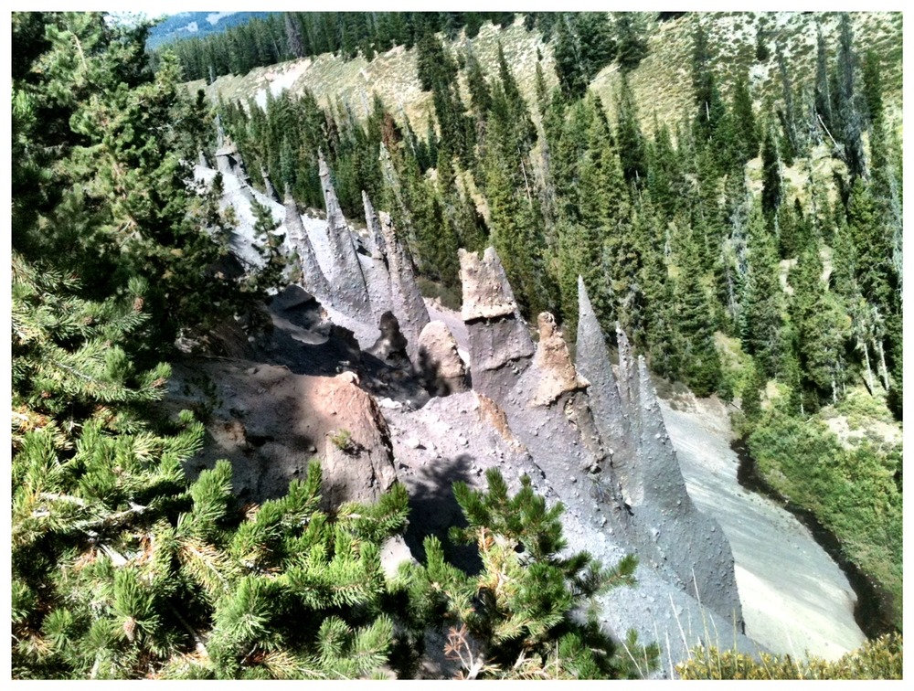
Heat rock to about 400 F, fire it down a canyon at say 100 mph, let
simmer for roughly 70,000 years and this is what you get. Results may
very but you won’t last long enough to discover that.

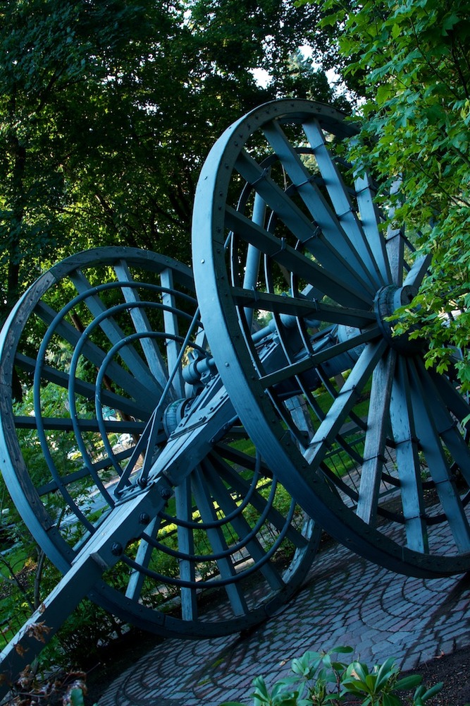
The return from Pinnacles passes this site so I stopped in. There are
three wheelchair accessible trails at CL and this is one of them.
Having walked the trail, as evidenced by this picture, I can tell you
I would not want to attempt it in a wheelchair – unless it was
motorized and had extra-wide tires.

Not a lot grows up here and what does, other than trees, doesn’t grow
very high. Most if does grow very pretty though.
Driving around shooting trying to warm up. Close to freezing Mazama
Village last night.
A lot of water has passed over the rocks since I managed my last post:
Badlands, Tetons and Yellowstone and few smaller but no less interesting places in between.

At some point I will sit down and write up the story and add the pictures to illustrate it. Up to now I have been too busy doing to get around to telling. Touring the National Parks is a time consuming affair – they are just so overwhelming. I have a new appreciation for travel writers now. How they ever make deadline is beyond me.
The photograph is of a portion of Schawbackers Landing at the foot of the Grand Teton. It’s a popular spot for both artists and photographers alike. A very reflective place in more ways than one. The series of shots I took at this location are, IMHO, among the best on the trip so far.
This morning I’m in Helena, MT, a first for me in both the state and the city. For you easterners who have forgotten all those state capitals you had to memorize in the third grade, Helena is the capital city of Montana. I checked into a hotel here last night, got a hot shower and caught up on bill paying. This morning I have to try to find an outfitter and pick up a set of long underwear and another pair of wool socks. It’s already snowing in Glacier and I found out night before last in Yellowstone just how woefully prepared I am for cold weather camping. I guess if one is going to die, freezing is as good a way to go as any, and certalnly one would be hard-pressed to pick a more beautiful spot than Glacier, but all things considered, I’ll invest in a few more pieces of clothing.
Looking forward to meeting Peter, Chris and Ali – all of the Western Montana Photographers Meetup – at St Mary’s campground this afternoon.
Here’s the route plan for the day.

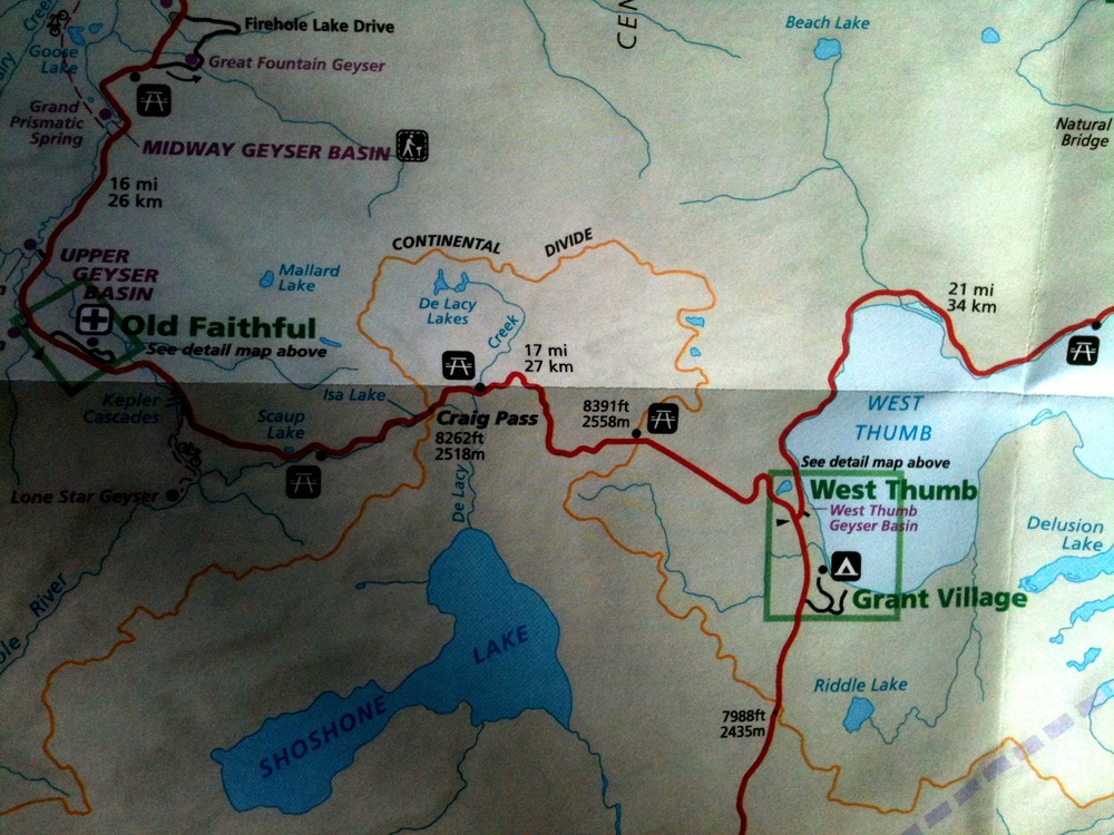
Camped at Grant Village for the next couple of days. Site right I’m
the edge of the West Thumb.
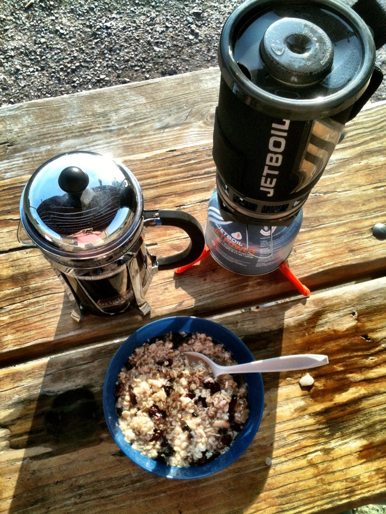
Fresh pressed coffee, maple-flavored oatmeal with craisins and sliced
almonds, banana-already gone- and peanut butter- not shown.
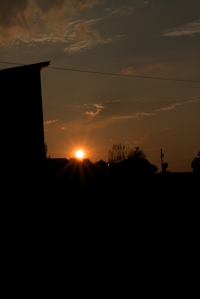
A very long day. Roamed more than 400 miles around the base camp. Took
447 shots including sunrise and sunset. I’m better at sunsets. I
suppose because I have more practice. Too, they seem to extend longer
than sunrises.

The big news yesterday for me, at least initially, was flooding. The Missouri River and it’s creeks and run-offs were swollen beyond belief for someone like me
who has never driven through this part of the country when water is high.I suffered a few delays but the people who live here had entire farms underwater. It was both a wondrous and sorrowful sight to observe.


Sunset approaching The Badlands
Didn’t get a chance to post last night; too tired by the time I rolled into St Joseph‘s, MO. It was also too late to go looking for a campground and pitching tents in the dark so I checked into a Days Inn. It has a bed and an internet connection and that’s about all the good things I can say.
Awoke this morning to the sound of thunder (and wind and rain and lightening and the like) and was feeling pretty good about not being in a tent. As I write this things seem to be clearing up a bit. The sky to the south is beginning to break blue.
Unfortunately the sky to the north is breaking bad and that’s the direction I headed today. Destination: Badlands of South Dakota. How Baaaad can they be? We’ll see.
http://maps.google.com/maps?f=d&source=s_d&saddr=St+Joseph,+MO&daddr=Badlands+National+Park,+SD&hl=en&geocode=FdKnXgIdW-lY-ilxJS6TThrAhzGocdNbeZZ15g%3BFWF3mwIdX2Ls-SHwd-baMV5oaQ&mra=ls&sll=39.757778,-94.836389&sspn=0.305104,0.612488&vpsrc=6&ie=UTF8&ll=41.820455,-98.393555&spn=5.730721,9.338379&z=6&output=embed<br /><small>View Larger Map</small>
It’s about a 10 hour run so I better get rolling. If the skies clear I send up some pics from the phone later.
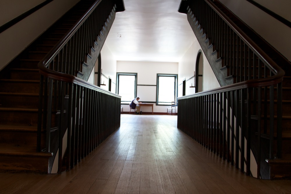
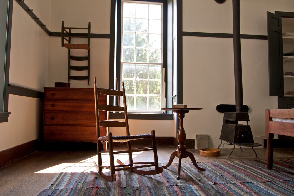
David and I spent a large part of the day post-processing the Shaker Village shoot and getting ready for a book signing in the evening at Lover’s Leap Winery near Lawrenceburg, KY, about an hour’s drive from base in Elizabethtown.

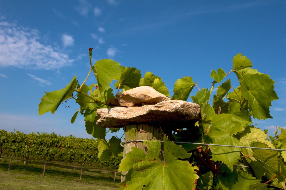


I joined David and his friend Beth for the trip and while they smoozed and signed and sold, I ran the property in search of a few good shots while at the same time trying to correct some of my setting errors from the pevious day. For the most part we were all successful – a good time was had. And I finally gained an appreciation for an f/22 apperture. These are some of my favs from the 464 shot during the three hour visit.
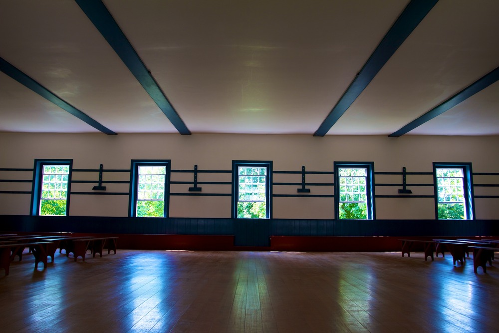
A long days shoot with Dakota at Shaker Village, Pleasant Hill, KY. Eight-hundred and forty one images collected. Here are few for now.
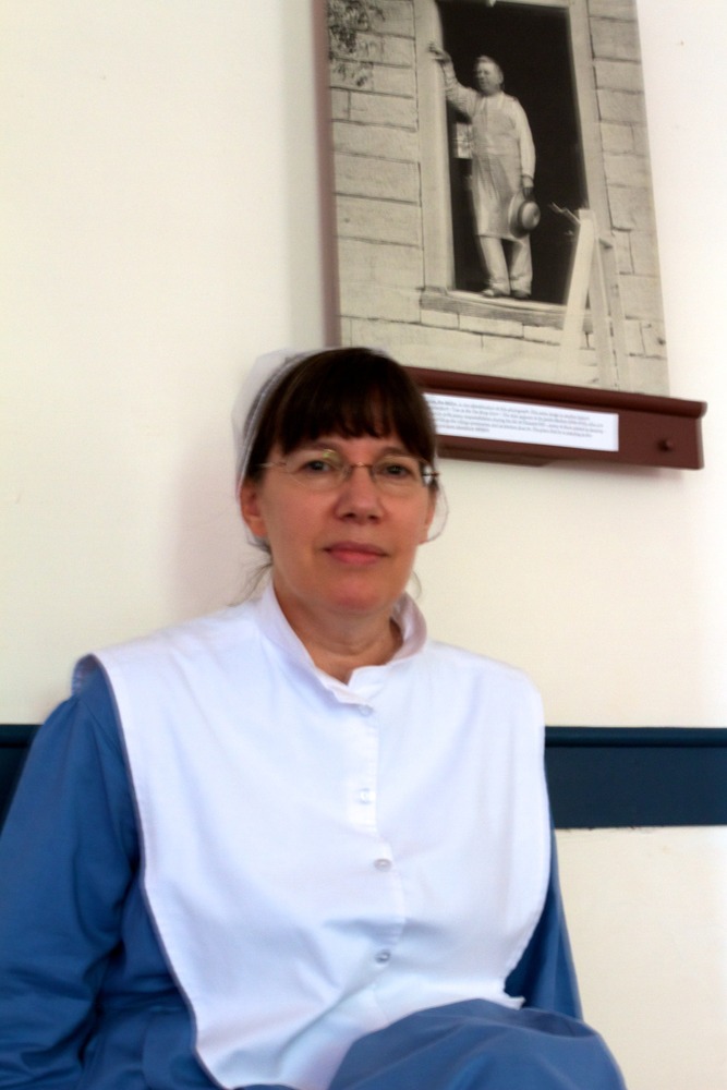

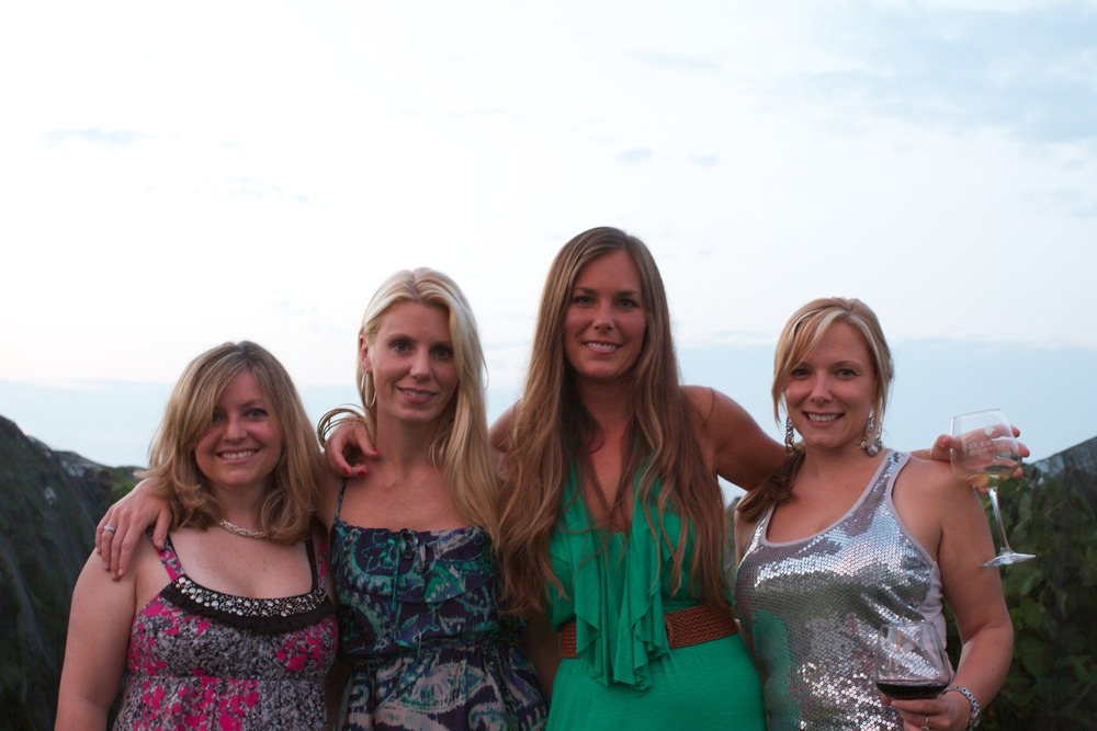
My new friend Sam in Elizabethtown, KY
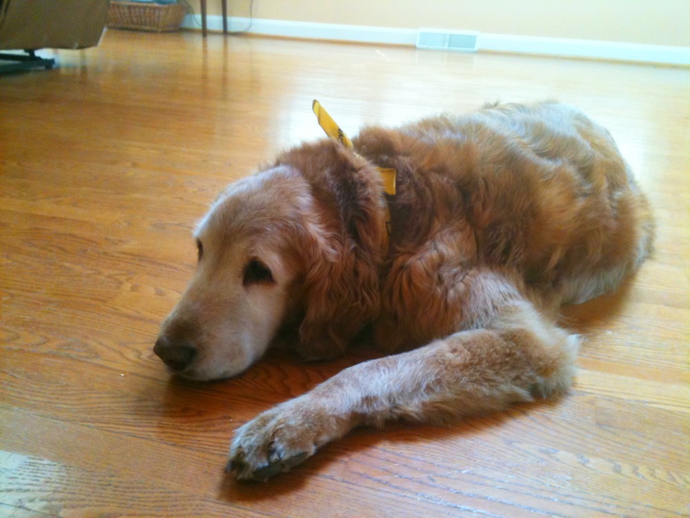
No one loved is ever lost and Ruth was loved so much

Picture taken in Trafalgar Square
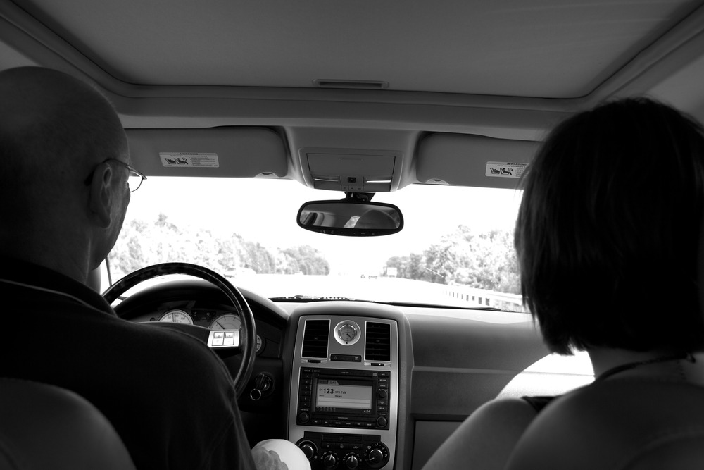
…… With a stop in C’ville to visit with Ruth

http://maps.google.com/maps?f=d&source=s_d&saddr=11614+Ivystone+Ct,+Reston,+VA+20191&daddr=University+of+Virginia,+Charlottesville,+VA+to:Elizabethtown,+220+West+French+Street,+KY&hl=en&geocode=FWcZUgIdcsZj-ykBU3AxREi2iTFSN_Hi-f5f-w%3BFUGHRAIdjAVS-yHnWjG_qxe_KQ%3BFYddPwId1g7i-im5yQLdMu9oiDGRe1o2Gl0lvQ&mra=ls&sll=37.0625,-95.677068&sspn=37.136668,78.398437&vpsrc=6&ie=UTF8&ll=38.3232,-81.59772&spn=1.23986,8.50142&output=embed<br /><small>View Larger Map</small>
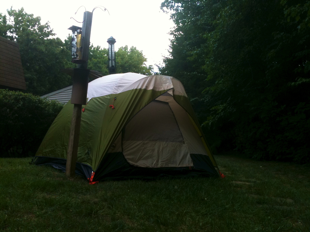
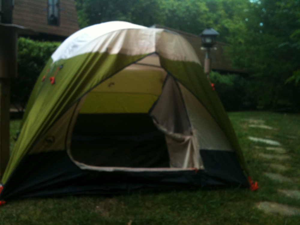
What you’re looking at here is my brand new Big Agnes 4 Bedroom, NO bath home. After having tried it out on a camping/rafting trip to WV this past weekend, I think I’m ready for prime time in the Missouri Breaks.